A live tracking kitesurfing expedition works best when every rider carries a recording device, the support boat carries another, and followers get one shared map. Choose hardware by how far offshore the route runs, then test the share setup before launch.
Picture a downwind run where riders string out along the coast and the people ashore want to know where everyone is. Tracking answers that question. It sits beside the wider plan for a kitesurfing team expedition, and it does not replace the radio and rescue arrangements.
Choosing a tracking method for an offshore crossing
No single device covers every job on a crossing, so build a layered setup. App-based tracking is the easiest layer to adopt, because most riders already own the phone or watch. Surfr, for example, records sessions with GPS tracking on an iPhone or Apple Watch. Hoolan takes a different route, tracking sessions on an Apple Watch or Garmin so that, in its own words, there is no need for a device on your board and no risk of taking your phone on the water.

Dedicated satellite trackers and AIS units are a separate category of hardware. Judge any of them on three things taken from the maker’s specification sheet: how often it reports a position, what subscription it needs to share that position, and what a follower actually sees. Do not assume a phone-based app can stand in for that hardware once the route moves well away from the beach.
- Riding close to the beach: a phone or watch app is usually enough, because followers on the shore can watch the session from the beach.
- Keeping the phone ashore: choose a watch-based recorder such as Hoolan, which suits riders who do not want a phone on the water.
- Riding a downwinder: look for route navigation in the app. Surfr lists Downwinder navigation in its PRO plan.
- Riding well offshore: add a dedicated tracker and read its update interval and coverage details before you commit.
| Option | What it records on | Planning use |
|---|---|---|
| Surfr, core tracking | iPhone or Apple Watch | Easy first layer for riders who already own the device |
| Surfr with Garmin | Garmin watch, unlocked on the Plus plan | For Garmin owners who want to stay in the same app |
| Surfr PRO | Apple Watch and Wear OS, with Downwinder navigation | Fits a downwind route where riders string out |
| Hoolan | Apple Watch or Garmin | Keeps the phone off the board and off the water |
Feature details come from the Surfr site and the Hoolan site.
Sharing live positions with family and followers
Family and followers watch a crossing through a shared map, not through messages. Surfr says friends and family can follow a session from the beach, and its map shows real-time rider positions. Set that up before anyone launches, so the people who will watch have already seen what a live rider looks like on the map.
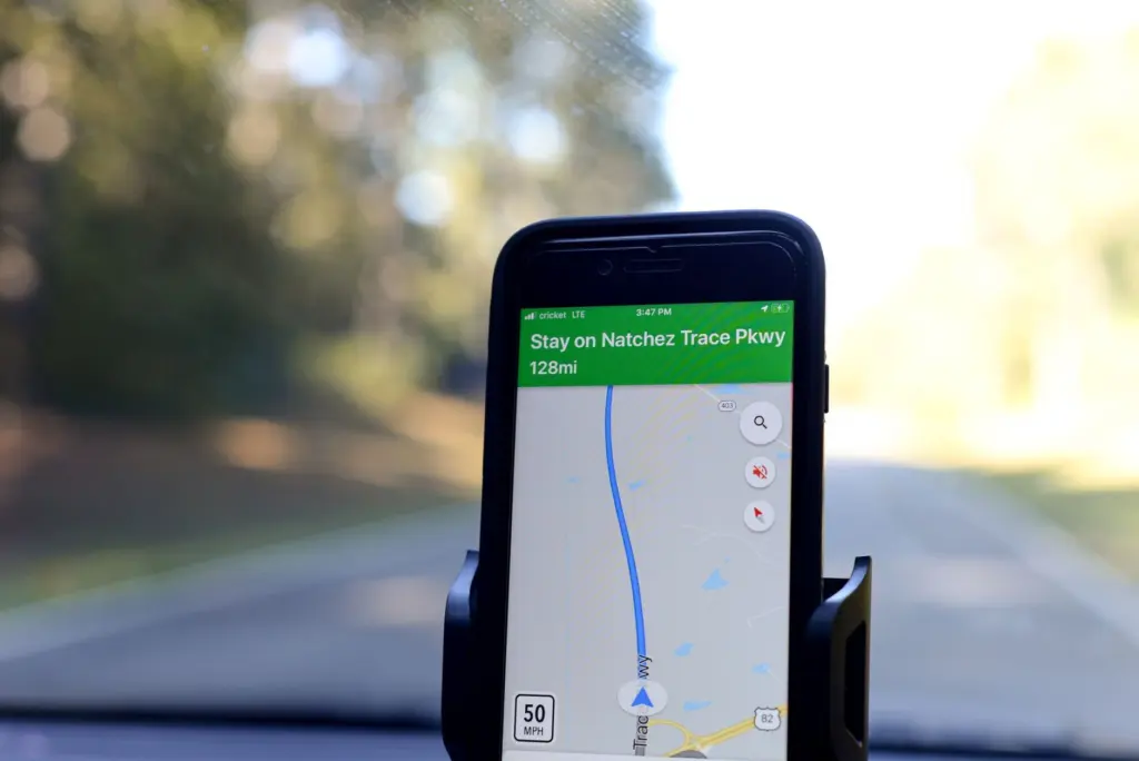
The same app has a beacon for safety contacts. According to the App Store listing, those contacts see where the rider is and receive a heartbeat every few minutes telling them all is well. Add the people who will be watching as safety contacts, and tell them what a heartbeat means so that a quiet map does not cause alarm.
Keep the follower group small and named. One person ashore who knows the route and the expected times is more useful than a large audience who only see dots moving.
How often does a satellite tracker update its position?
The update interval depends on the individual device and the plan attached to it, so read it from the manufacturer’s specification sheet instead of assuming a figure. Some units let you choose a faster or slower reporting rate. A faster rate gives followers a smoother track, and the specification sheet should state what it costs in battery or subscription terms.
The one published interval in the app material is the Surfr heartbeat, which reaches safety contacts every few minutes. A heartbeat is a reassurance message. Treat it as a check-in, not as a promise that the map refreshes continuously. If followers need a close view of a fast downwind leg, choose hardware whose reporting rate you have confirmed.
Alarm handling is a different matter from position reporting. What the shore team does when an alarm arrives belongs in the kitesurfing expedition safety plan, not in the tracking setup.
Placing a tracker on the support boat
A tracker on the support boat gives the shore team a reference point beside the riders’ positions. If the boat and the riders drift apart on the map, the shore team can see it early. Mount the unit where it has a clear view and stays dry, for example in a waterproof pouch on the dashboard.
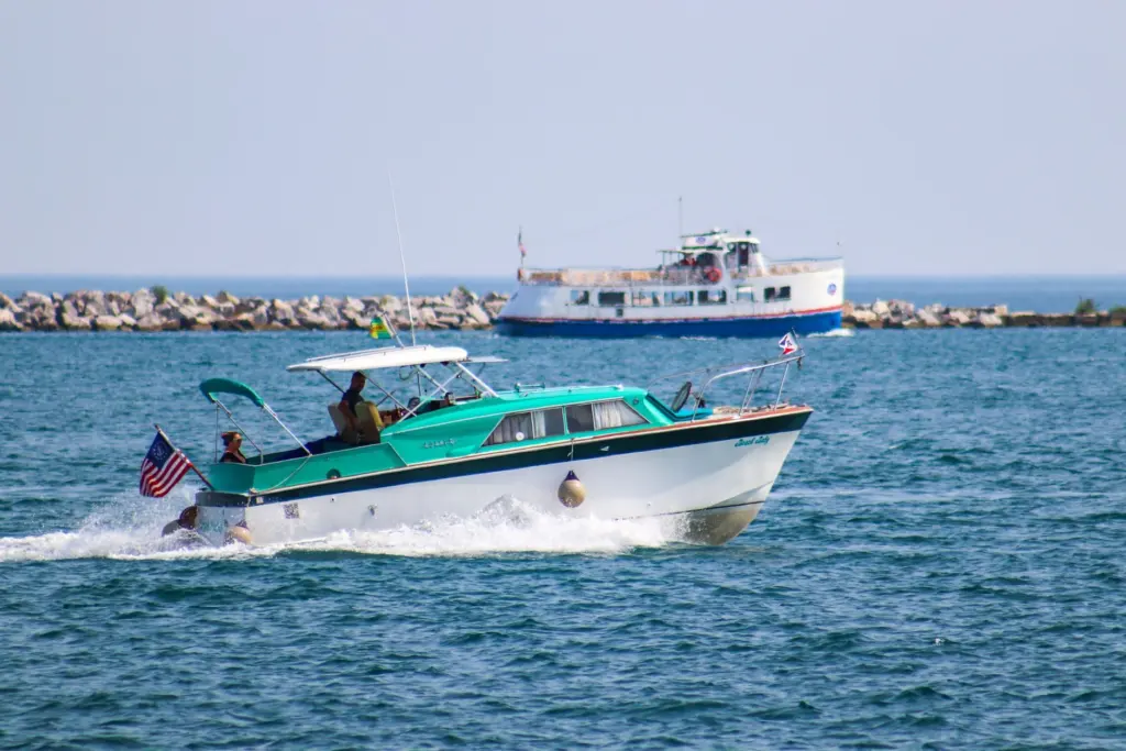
Give the boat tracker the same sharing setup as the riders. Followers then see one map with every position on it, instead of switching between views.
Monitoring from the shore
One person ashore should own the map for the whole crossing. Because Surfr’s map shows real-time rider positions, that person can watch the group on a laptop or phone and spot a rider falling behind. Rotate the job on long days so the person watching is not also doing something else.
Agree in advance what counts as a reason to call the support boat, such as a rider stationary for longer than the group expects. Write that rule down, and keep the call itself in your voice plan.
Where AIS units and distress beacons fit
AIS units and distress beacons are not the same as the trackers that feed a follower map. An AIS transponder is a vessel-identification tool and suits the support boat more than a rider. A distress beacon exists to raise an alarm. A tracker exists to show position to people who are watching.
Before you rely on any beacon, check the maker’s specification sheet and your national maritime authority’s guidance on registering it. Registration rules differ by country and by device type. Voice contact between boat, riders and shore is covered in the guide to communication on a kitesurfing expedition.
Troubleshooting a silent or stale map
- Rider missing from the map: check that recording has started. Surfr’s beacon is on and arms itself every time the rider records, so a rider who has not pressed record is invisible to followers.
- Garmin rider not appearing: confirm the plan. Garmin recording in Surfr is unlocked by the Plus plan.
- Followers anxious about a quiet map: remind them that a heartbeat every few minutes means all is well, and that a missing heartbeat is the cue to call the shore lead.
- Phone risk on the water: switch that rider to a watch-based recorder so the phone stays ashore.
Run a short test session at the launch beach before the crossing. It shows whether every device appears on the shared map.
Frequently asked questions
| Question | Answer |
|---|---|
| Is the tracking app free to use? | Surfr is free to download and free to use for tracking, leaderboards and the social feed, according to the Surfr site. Plus and PRO add paid features. |
| What do safety contacts receive if a rider raises the alarm? | One alarm from the wrist reaches every contact at once, with the rider’s last known position, as described in the App Store listing. |
| Does a rider need a phone on the board? | Not with a watch-based recorder. Hoolan records both jump and GPS track data on an Apple Watch or Garmin. |