| Situation | Check, in this order | Planning use |
|---|---|---|
| Planning the evening before | Wind direction, then gusts | Direction tells you what kind of wind to expect, as Tarifa’s Levante and Poniente show. Gusts decide whether the day is comfortable or only looks good. |
| Planning a wave session | Swell period, then swell height | Period shapes how waves are spaced and how big they build. Height alone does not decide wave size. |
| Standing on the beach | Windsock or flag, a measured wind reading, then the sky | Confirm or overrule the forecast. High cloud can make a forecast wrong. |
| Looking several days ahead | Whether the models agree | Use it to pick days to watch. The most accurate forecast is usually within three days. |
The situations and judgements above draw on the Progression conditions guide and the Kiteboard Academy forecast guide.
Here is how to read a kitesurfing forecast: check wind direction first, then gusts, then swell period, then swell height, and confirm each on the beach before you rig.
That order puts the fields that can cancel a session ahead of the ones that only shape it. It sits inside the wider guide on how to kitesurf in waves, which covers what to do once you are on the water.
Planning the evening before
The night before is for the wind fields: direction, gusts and the numbers that decide your kite. Kite Surf Culture names Windy, Windfinder and Windguru as the online checks to make before you head out, so any of them can feed this routine.
Wind direction first
Direction tells you the character of the day, not just its strength. Progression describes how the two main winds at Tarifa differ: the stronger Levante is always warmer and tends to be more gusty, while the Poniente is fresher from the ocean and tends to be lighter but steadier.
The same headline speed can therefore mean two different sessions at one spot. Read the direction before the speed, and learn what each direction does at your own beach.
Gusts second
Gusts are where a good-looking forecast turns into a hard day. Kite Surf Culture explains that strong downward cold air currents from storm clouds generate unpredictable wind gusts in any direction. Near stormy clouds, wind direction and intensity can change dramatically within minutes. The same guide describes cumulonimbus clouds reaching up to 12 km in height and gusts inside microbursts reaching up to 170 mph (270 km/h).
- Wide gap between average wind and gusts: expect a rougher, less predictable ride, and choose conservatively rather than hoping the peaks do not arrive.
- Storm cloud in the forecast or sky: wait. Conditions can change within minutes, and no kite size solves a downdraft.
- Fronts on the weather map: New Wave Kiteboarding notes that the larger the temperature difference across a front, the stronger the wind is likely to be.
Knots and kite size
Forecast speeds only help once you translate them into a kite. Rebels Tarifa explains that kite size depends on your weight and the wind speed. Its example is a rider of around 70 kg in 14 knots, who would use roughly a 12 m kite. At 20 knots, a smaller kite of about 8 m is suggested. Both figures are approximate.
Check which unit your service uses before comparing it with a manufacturer’s wind range chart. Treat any chart as a range for your kite and weight, not a single target.
Judging waves before a wave session
Swell fields come after the wind checks because they shape the session rather than decide whether it can happen. Read period before height.
Swell period third
Swell period is the time between waves, and it changes what the sea looks like. Progression notes that the longer the period between waves, the longer the flat sections or troughs between them, and waves can build to larger peaks. A short period suggests closely spaced, choppier water, which is a different session from a long, organised swell.
Swell height last
Swell height is the figure most riders look at first, but it only tells part of the story. Progression found that wave size was not entirely dependent on the forecast height statistics, so read the height together with the period.
Tide then changes the result again. Progression says low tide might give the flattest water, while mid to high tide may suit waves better. For how tide and current interact with the wave forecast, see this guide to kitesurfing tides.
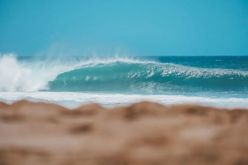
When you reach the shore, compare the forecast with the real sea using the guide on how to read waves kitesurfing.
Checking the forecast on the beach
The forecast is a plan, and the beach is the test. Run the same order on site: direction, wind strength and gustiness, then the sea.
Windsock and flags for direction
A windsock or flag at the car park shows the wind you will actually get. If it points somewhere different from the forecast direction, trust the sock and rethink the session. Direction is the first field in the ranking because a wrong direction changes everything that follows.
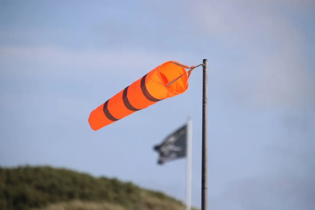
A measured reading and the sky
A wind reading gives you a number to set against the forecast speed. Local patterns can explain a difference. Kiteboard Academy’s guide to La Ventana says that with a north-north-east to north-east wind and clear sky, you can add 2-4 mph to the forecast wind speeds. The same guide says thermal winds there start to fade between 4 and 5 pm as the sun drops behind the mountains. These are local rules for one location, so use them as an example of what to learn about your own beach, not as general adjustments.

The sky can overrule the forecast too. The same guide warns that forecasts are wrong if high clouds start moving in, because they dampen the local thermals.
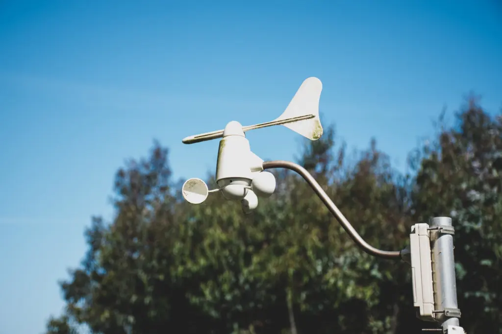
Water movement matters as well. Progression notes that when wind and current run in the same direction, the wind effectively feels weaker, so a forecast speed can feel lighter on the water than it reads.
Trusting a forecast days ahead
Forecasts are most useful as a shortlist of days and least useful as a promise. Kiteboard Academy says the most accurate forecast is usually within three days, and New Wave Kiteboarding adds that neither you nor the experts can predict wind speeds far out.
Choosing between models
Different services use different models, and they can disagree. iKitesurf offers ten forecast models, and its blend model combines all of them and averages the results, according to Kiteboard Academy. Progression reports that the Windfinder superforecast tends to be more accurate than the alternative it compares it with.
- Models agree: the forecast is a good candidate for a plan. Confirm it when you arrive.
- Models disagree: keep the day flexible and decide within the closer forecast window.
- Far-off windy day: note it, but do not book time off around it.
Frequently asked questions
| Question | Answer |
|---|---|
| How reliable is Windguru for kitesurfing? | Rebels Tarifa says the forecast may not always be spot on but gives a solid idea of wind strength and direction. Use it to plan, then confirm on the beach. |
| What do gusts mean compared with average wind speed? | Average wind speed is the headline figure, while gusts are the sudden peaks above it. Downdrafts from storm clouds can produce unpredictable gusts in any direction, according to Kite Surf Culture. |
| Which units will I see on a forecast? | Sources in this area quote knots, mph and km/h. Confirm the unit on your service before comparing the number with a kite’s wind range. |