| Signal | What it indicates | Planning use |
|---|---|---|
| Weather map systems | Cold fronts and low pressure systems mainly drive wind, and they can show on the map before wind forecast sites reflect them | Read the map first to see whether a windy spell is forming, then confirm with forecast numbers |
| Temperature gradient across a front | A larger temperature difference generally means stronger wind | Expect stronger wind where the contrast is sharp and keep the smaller kite ready |
| Wind speed forecast about 10 days out | Not reliably predictable, by riders or by experts | Use it as a window to watch, not a basis for committing kit or crew |
The relationships in this table come from a kiteboarding guide to predicting the wind, which links fronts, temperature gradients and forecast sites.
Kitesurfing ocean conditions wind and swell come down to matching three forecast lines, speed, direction and sea state, to the kite in the bag. Start with the wind range for that kite, then check direction and swell.
Riders planning a kitesurfing team expedition can use the phases below as a routine that runs from the first look at the weather map to the moment of launch.
Long range: reading the weather map
Wind on the water is mainly driven by cold fronts and low pressure systems, according to the same wind-prediction guide. That makes the weather map the earliest tool a rider has. The guide notes that the systems often show on the map long before wind forecast sites start to reflect them.
The temperature difference across a front adds a rough measure of strength. The larger the difference, the stronger the wind is likely to be. This is a likelihood, not a speed. It tells a rider whether to expect a gentle spell or a hard one, and it does not replace a forecast number.
Wind speeds about 10 days out are not reliably predictable, and the guide says neither a rider nor the experts can call them. That sets the right attitude for early planning. Keep dates flexible, watch how the systems move and avoid fixing a kit list to a number that far ahead. Anyone sizing up a kitesurfing ocean crossing should treat this horizon as a window to monitor and not as a day to commit to.
Several days out: forecast models and sources
A wind forecast model turns the pattern on the map into numbers for speed and direction at a chosen spot. Swell is a separate sea-state forecast and needs reading alongside it. The question of which forecast sources are reliable offshore depends partly on timing. The map shows the system first, and the forecast sites catch up afterwards. A sensible order is to use the map for the pattern and the model for the numbers once the system has appeared in both.
- Check the system. Find the front or low pressure area that is expected to produce the wind and note how sharp the temperature contrast looks.
- Compare sources. Look at a national meteorological agency’s charts next to a wind forecast site. If they disagree on timing or strength, treat the day as uncertain.
- Add the sea state. Pull up a marine or swell forecast for the same location and the same hours.
- Recheck daily. Forecasts change as the system gets closer, so use the latest run and not the first one you saw.
A forecast site is a good tool for the final days. It is a weaker one for a long lead time. A rider who treats every number as a promise will be caught out. A rider who reads the map and the model together will see a change coming.
Day before: choosing a wind range and kite
No single wind speed range suits ocean kitesurfing. The usable range belongs to a particular kite, a rider’s weight and the board, and the manufacturer’s sizing chart for the kite in the bag is the reference to use. Read the forecast speed against that chart and not against a general number from a forum or a friend.

The forecast and the front’s temperature contrast together decide what to pack. A stronger gradient points to stronger wind, so a rider who sees a sharp contrast on the map should have the smaller kite ready. A weak contrast calls for the larger kite and a realistic expectation that the session may be short or marginal.
- Match speed to chart. Compare the forecast speed for each hour with the range on the sizing chart for every kite available.
- Pick a primary and a backup. Choose the kite that fits the middle of the forecast and keep the next size ready in case the system arrives stronger or weaker than the model shows.
- Note the edges. If the forecast sits at the limit of what a chart allows for the kites on hand, plan to stay ashore until the measured wind confirms a go.
Expedition groups with riders of different weights should repeat this for each rider, since the same wind can suit one kite for one rider and a different kite for another.
Launch morning: measuring the wind on the beach
A forecast is a prediction, and an instrument reading is a fact. A handheld anemometer on the beach gives the rider a measured number to set against the chart, and that should be the number that decides the launch.
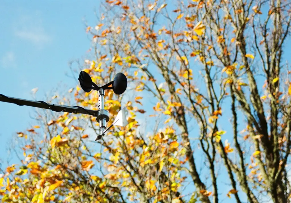
Check the wind at the place where the kite will be launched, not only at a distant station, and check it again after a short wait. A forecast that was correct at dawn can be out of date by the time the group is rigged.
- Read the wind. Take a measurement at the launch spot and compare it with the chart range for the kite already chosen.
- Watch the sky. Look for the front or system you tracked on the map. Its arrival can change the wind faster than the model suggested.
- Decide with the group. If the measurement is outside the chart range for any kite available, wait and recheck instead of launching on hope.
On the water: direction, swell and sea state
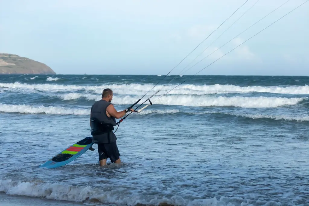
Speed alone does not describe a session. Direction decides where the rider can travel, and swell decides how the water under the board behaves. Each needs its own line in the forecast.
Wind direction on a downwind line
Kite downwinder conditions depend on direction as much as speed. A downwinder works when the wind keeps a consistent heading along the stretch of water so the rider travels with it. If the forecast shows the direction turning during the day, a long line becomes harder to finish. A shorter leg or a later start can be the better call.
Swell and whitecaps
Read the swell forecast as a separate line with its own height and timing, then compare it with the wind forecast for the same hours. Whitecaps on the surface tell a rider that the sea is already responding to the wind. They are a cue to reassess the kite size and the planned exit.
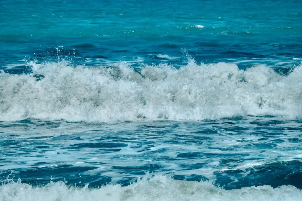
The interaction of wind and swell is where an offshore session is won or lost. A wind figure that suits the kite on the chart can still produce a rough ride if the swell forecast shows large movement. A moderate wind with a kind sea can be the better day for a group than a stronger wind over a heavy sea. Judge the three lines together and not one at a time.
Troubleshooting when conditions drift from the forecast
- Measured wind is below the forecast. Do not force a launch on a large kite. Wait, recheck the map for the system’s position and consider whether the front is later than the model said.
- Wind builds faster than expected. A sharp temperature contrast across a front points to stronger wind. Switch to the smaller kite before launching, or stay ashore if the build is still going.
- Direction shifts during the session. Return to the planned exit early, before the shift makes a downwind line impossible to finish.
- Swell looks larger than the forecast showed. Treat the sea state as the limiting factor and change the plan, even when the wind still matches the chart.
- The group spreads out. Agree signals and check-in points in advance, using the guidance on communication on a kitesurfing expedition.
The rule that holds across all of these is simple. Trust the map for the pattern, the model for the numbers and the instrument on the beach for the final call.
Frequently asked questions
Does a bigger temperature difference across a front mean stronger wind?
Generally yes. The wind-prediction guide says the larger the temperature difference across a front, the stronger the wind is likely to be. It is a likelihood and not a measured speed.
Can a forecast be trusted well ahead of an expedition?
Not for wind speed. About 10 days out, neither riders nor experts can reliably predict it. The weather map can show a developing system earlier than forecast sites do, so use it as an early warning only.
Why check the beach reading if a forecast already exists?
A forecast is a prediction for a wide area. A reading at the launch spot shows what the rider will actually fly in, and that is the figure to compare with the kite’s sizing chart.
Is wind speed enough to judge a day offshore?
No. Wind direction decides whether a downwind line can be finished, and the swell forecast shows how rough the water will be. A day needs all three lines to fit before it suits the group.